Mountain building interacting with climate
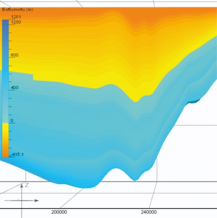
The Pyrenean mountain growth took place during 80 million years and affected the sediment distribution on the area. Simultaneously, took place multiple climatic changes that also affect the sediment routing (river paths, submarine canyon distribution, etc.). Using a Monte Carlo approach, this project solves the sediment routing distribution in this complex setting. The model is calibrated with the scarce real data that can be observed on the field.
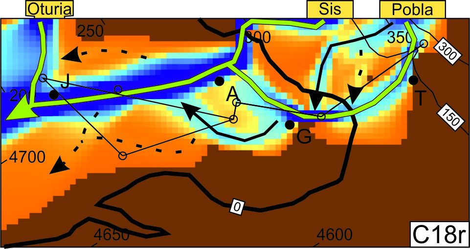
I succeed on reproducing the sediment routes on the Pyrenees during the studied period, demonstrating (1) how the climatic conditions where at that time, (2) the sedimentary routes in the eroded areas. Additionally, the new data allows to estimate the sediment volume outputting the modelled area.
Experiment design, numerical modelling, algorithm making, MySQL, Groovy scripting, data analysis.
Link to the project